After taking California State Route 46 west to US 101 I continued south to San Luis Obispo to give California State Route 227 a try.

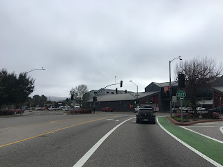
CA 227 is a 14 mile state highway entirely located within San Luis Obispo County. The north terminus of CA 227 is at US 101 in the City of San Luis Obispo which can be accessed at exit 201. CA 227 southbound begins on Madonna Road which heads further into San Luis Obispo.


CA 227 South takes a quick left on Higuera Street before swinging right on South Street.

CA 227 South makes another right on Broad Street which finally takes the route in an actual southward direction.

At the city limits of San Luis Obispo CA 227 passes by the San Luis Obispo County Regional Airport.

CA 227 crosses through the community of Edna which is located alongside a series railroad tracks. CA 227 ascends over the rails on an overpass but it appears the highway originally crossed on Los Ranchos Road. Edna dates back to the 1880s when it was built as a company town to house workers on a local ranch.

South of Edna CA 227 runs on Carpenter Canyon Road through the hills towards the City of Arroyo Grande.


CA 227 South takes left onto Printz Road where it enters the City of Arroyo Grande.


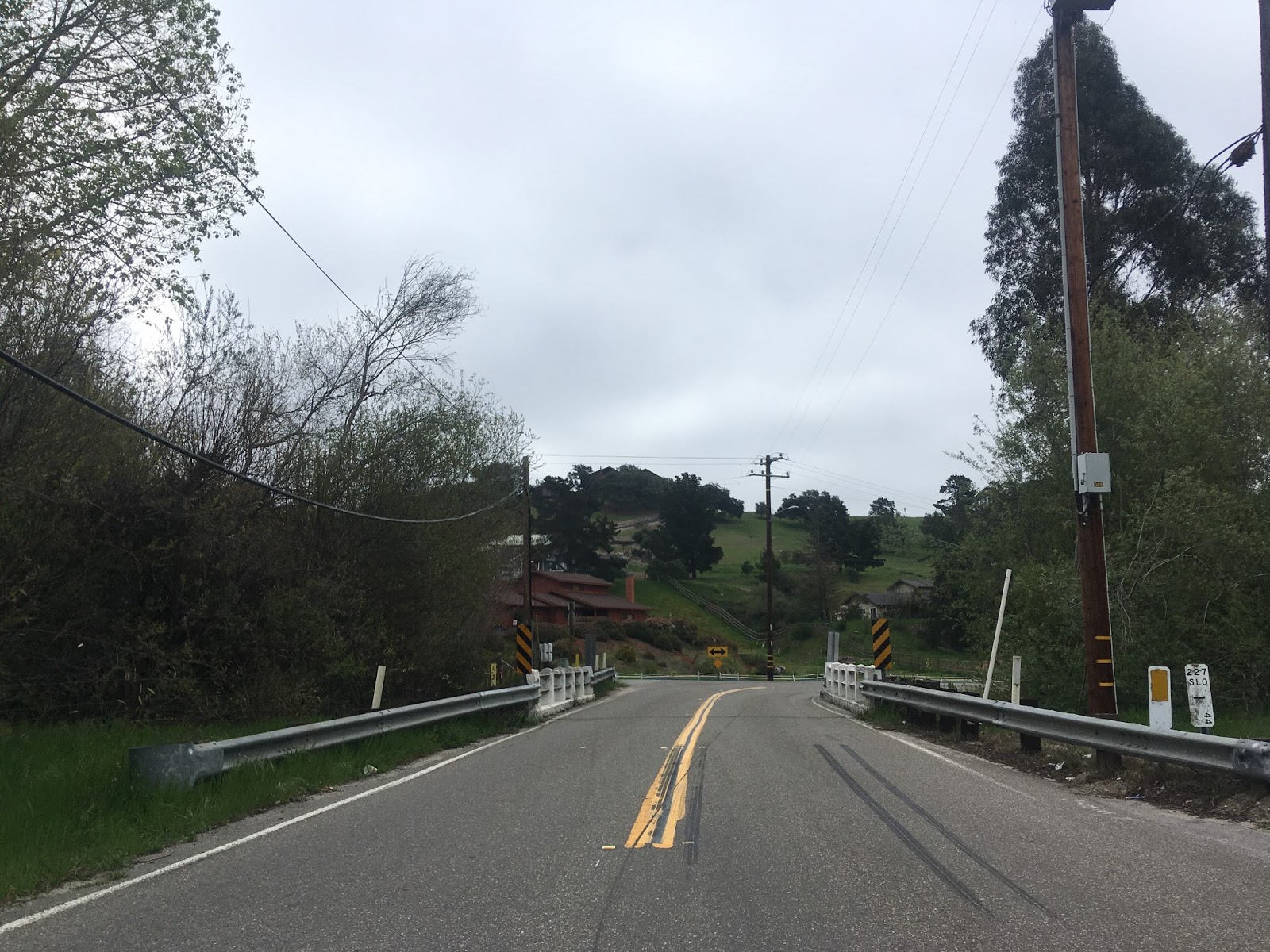
CA 227 South crosses a small bridge before merging onto Corbett Canyon Road.

CA 227 South merges onto Branch Street where it continues through downtown Arroyo Grande to it's terminus at US 101. There are a series of California Highway Shields in downtown Arroyo Grande lacking the state name in the crest. Arroyo Grande dates back to 1862 and Branch Street was always the heart the community. It appears US 101 used Branch Street originally before it blown out to the freeway it now occupies.


CA 227 was not one of the original Signed State Highways and was first signed in 1964 being created out of what was Legislative Route 147. The change from LRN 147 to CA 227 can be seen by comparing the 1963 and 1964 State Highway Maps.
1963 State Highway Map
1964 State Highway Map
LRN 147 doesn't appear to be substantially different than modern CA 227. Aside from the route alignment difference in Edna I noted above much of the roadway is the same as it when LRN 147 was adopted in 1933. The north terminus of LRN 147 appears to have met US 101 along Broad Street at Marsh Street. The southern terminus of LRN 147 appears to have been on Branch Street where US 101 would have taken over possibly at what is now traffic way. The original alignment of LRN 147 can be seen on the 1935 California Division of Highways map of San Luis Obispo County.
1935 San Luis Obispo County Map
I can't find a map reference where this is apparent but CAhighways.org states that by 1967 there was a proposed extension of CA 227 to CA 1 which was never built.
CAhighways on CA 227

CA 227 is a 14 mile state highway entirely located within San Luis Obispo County. The north terminus of CA 227 is at US 101 in the City of San Luis Obispo which can be accessed at exit 201. CA 227 southbound begins on Madonna Road which heads further into San Luis Obispo.


CA 227 South takes a quick left on Higuera Street before swinging right on South Street.


CA 227 South makes another right on Broad Street which finally takes the route in an actual southward direction.

At the city limits of San Luis Obispo CA 227 passes by the San Luis Obispo County Regional Airport.

CA 227 crosses through the community of Edna which is located alongside a series railroad tracks. CA 227 ascends over the rails on an overpass but it appears the highway originally crossed on Los Ranchos Road. Edna dates back to the 1880s when it was built as a company town to house workers on a local ranch.

South of Edna CA 227 runs on Carpenter Canyon Road through the hills towards the City of Arroyo Grande.


CA 227 South takes left onto Printz Road where it enters the City of Arroyo Grande.


CA 227 South crosses a small bridge before merging onto Corbett Canyon Road.
CA 227 South merges onto Branch Street where it continues through downtown Arroyo Grande to it's terminus at US 101. There are a series of California Highway Shields in downtown Arroyo Grande lacking the state name in the crest. Arroyo Grande dates back to 1862 and Branch Street was always the heart the community. It appears US 101 used Branch Street originally before it blown out to the freeway it now occupies.


CA 227 was not one of the original Signed State Highways and was first signed in 1964 being created out of what was Legislative Route 147. The change from LRN 147 to CA 227 can be seen by comparing the 1963 and 1964 State Highway Maps.
1963 State Highway Map
1964 State Highway Map
LRN 147 doesn't appear to be substantially different than modern CA 227. Aside from the route alignment difference in Edna I noted above much of the roadway is the same as it when LRN 147 was adopted in 1933. The north terminus of LRN 147 appears to have met US 101 along Broad Street at Marsh Street. The southern terminus of LRN 147 appears to have been on Branch Street where US 101 would have taken over possibly at what is now traffic way. The original alignment of LRN 147 can be seen on the 1935 California Division of Highways map of San Luis Obispo County.
1935 San Luis Obispo County Map
I can't find a map reference where this is apparent but CAhighways.org states that by 1967 there was a proposed extension of CA 227 to CA 1 which was never built.
CAhighways on CA 227
Comments